By: Alex Patt
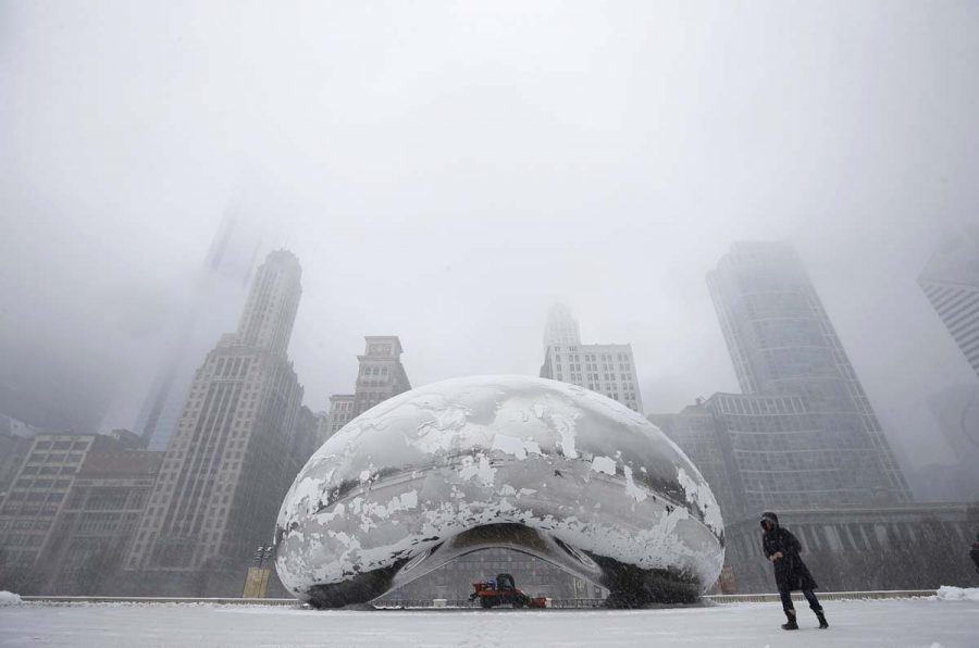
This is the time of year when Concordia Chicago students and the rest of Chicagoland begin to brace themselves for the brutal winter season which freezes the Northern Midwest solid for 3-4 months. With blizzards and sub-freezing temperatures a normal occurring thing in the city, people always want to know the degree (literally) of severity the winter season will bring.
So far, it has been unusually mild in the Windy City, not seeing any form of snow until the 21st of November. According to the National Weather Service Climate Prediction Center, the state of Illinois will likely have temperatures higher than normal, and a precipitation rate lower than normal in the December, January and February months.
The reason for the mild prediction? It is mainly because of the effects of El Nino, which is when the Pacific Ocean temperature along the equator is warmer than usual. The phenomenon has the ability to effect the temperature in areas within thousands of miles. This year El Nino is unusually strong so the effects will be more influential on surrounding climates this season. The LA Times has reported that scientists say this is the strongest El Nino has been in recorded history, surpassing the previous temperature records set in 1997.

Will this mean there will be no frigid days and snowstorms? No, there still will be both those things we all know and love, but there will likely be less of it than usual, and there are less chances of seeing the storm that brings over a foot of snow at least every few years to Illinois. Most people here hope we will not see many of those infamous -30 degree days in January/February. With the effects of El Nino, that wish might just come true.
Sources:
nbcchicago.com/weather
www.latimes.com
kdvr.com

